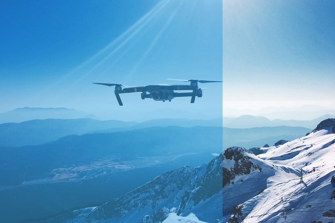
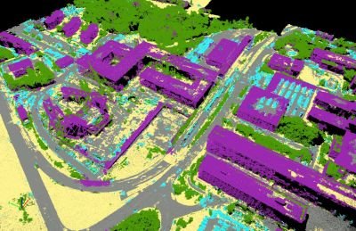
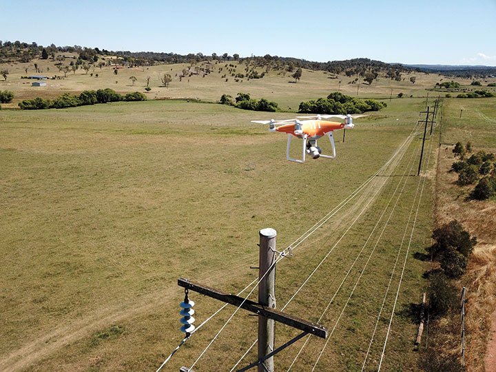
Automated worksite boundary scan with end - to - end drone based aerial photogrammetry. Freeze the Geo location boundary and start the Aerial capture with NETRA advanced Drone.
NETRA Software comprises AI power Processing, enable you to make quick decision towards your construction site or maintenance of your assets such as, Wind turbine, Factory boiler, Mobile Tower or Solar Farms.
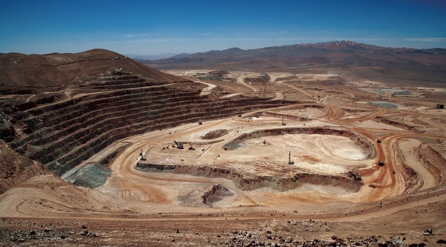
NETRA features to build digital image of your construction site, assets or Mining site. Our High-tech software then Measure volumes, areas, distances or 3D Image of the assets for easy inspection.
How NISTAR can play critical role to Protect and Serve?