
 High-tech Inspection Tools
- Advanced Analytical reports
- Asset management platform
- Cloud storage
Increase your Infrastructure vision with accurate 3D Maps and Models

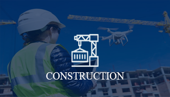
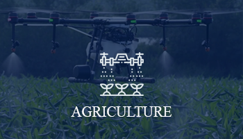

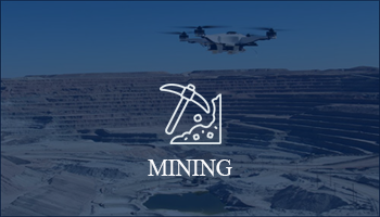
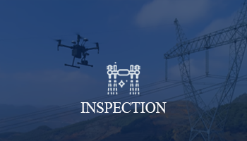
Fly the drone, Increase the Productivity

- Integrated Solution
- Easy to scale up the large area
- 3D Mapping, More Visibility
- Informative Survey reports
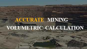
- Optimize site development
- More accurate decisions
- real-time updates on production progress and forecasts, stockpile sizes and composition

- Live HD Video Streaming
- Thermal Scanner
- On the flight Speaker and Mic
- Easy Geo-location tag
Powerful Aerial Performance – NETRA DRONE
 Accurate drone flight, HD Camera
 Easy to scale up the projects
 Increase the visibility 3x times
 Built-in advanced processing unit
 Detailed Report, cloud storage
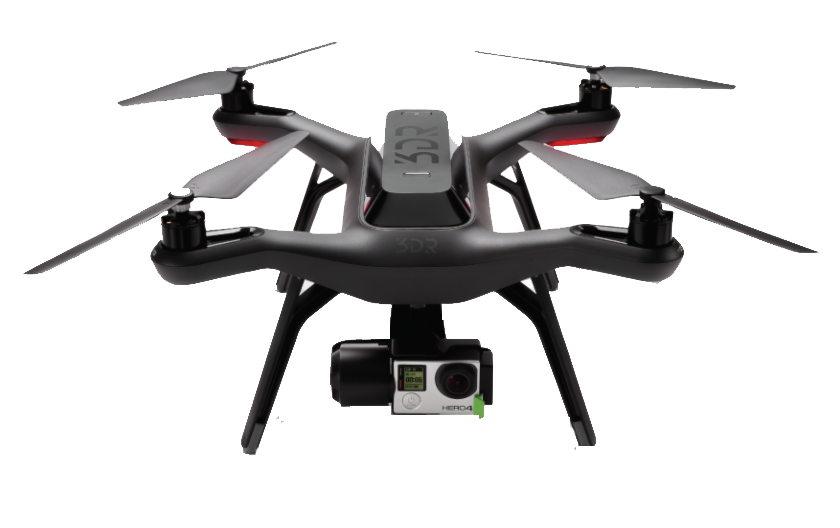
NETRA Drone comprises an onboard HD camera, Thermal Camera, advanced sensors and impressive processing unit capture every detail minutely. NETRA Drone captures aerial shoot accurately. It is a right choice for the field survey and enhance Infrastructure productivity and assets.
Facts & Figures
3+
Year in Business
40+
Project Done
25+
Number of Clients
Clients